Table of Contents
Surfaces in the Smart DTM
Description
The surfaces are triangular meshes (surface modeling from triangles). The calculation is based on the Delaunay algorithm. This means that the triangles created are meshed according to the so-called min-max criterion, so that the occurrence of acute triangular angles is avoided if possible.
Based on break and boundary edges, real terrain can be mapped in a digital terrain model and terrain planning can be defined using additional edges. This results in volume calculations or profile representations, for example.
Application
To create a surface you need as a basis in the drawing Lines, polylines, 3D polylines, circles or arcs. From these drawing elements you can create breaklines or boundary lines, the basis for the surface.
To create a surface, click the in the Surfaces area Plus symbol and then forgive one Namur.
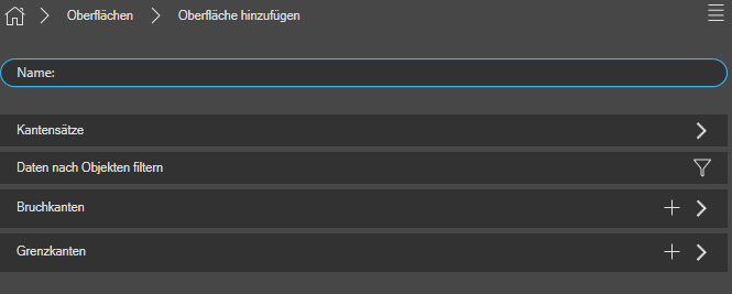
There are various options in the overview:
| Edge sets | By unfolding the small arrow on the right, you can see all the edge sets that have been created in this drawing (see also Create edge sets). As soon as you tick the selection, it will be added to the interface. All edge sets can be searched using the search field (above). |
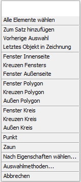
| Filter data by objects | You have the option of filtering specifically for objects and you get into a special selection mode, where you get various selection options from BricsCAD. This selection is made either by clicking with the mouse pointer or by one of the other selection methods, the in the help of BricsCAD to be discribed. |
| Breaklines | Click the plus sign to add breaklines. Breaklines define vertical slopes and steps in the terrain. |
| Border edges | Click the plus sign to add boundary edges. Boundary edges subdivide the surface into terrain areas (e.g. to only have one processing area calculated). |
To create an edge, select the option Break or boundary edges by the plus sign in the corresponding line. Then you have to select an element in the drawing. This is done either by Click with the mouse pointer or by one of the other Selection methods, the in the help of BricsCAD to be discribed.
By confirming with Enter the edges are stored in the surface and a triangular mesh is automatically created from them.
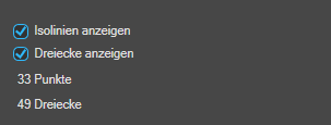
In the lower area of the dialog you have the option of selecting the Isolines (contour lines) and to show or hide triangles with a quick selection.
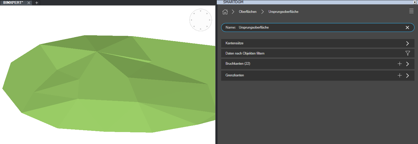
Change the visual style to display the terrain model objects in a realistic representation, for example.
Features
On Overview page of Surfaces you can see all surfaces that have already been created and you can use the plus sign to create additional surfaces.
With each surface you have the option of different Settings to undertake:
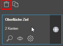 | Erase surface | Click on a surface with the left mouse button> a symbol appears at the top Delete. |
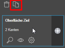 | Copy surface | Click on a surface with the left mouse button> a symbol appears at the top Copy. In this way, the surface can be used both as a basis and changed for further planning. |
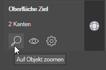 | Zoom on object | You can zoom in on the desired surface with a click. |
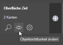 | Change object visibility | You can make the desired surface visible or invisible, for example, if a surface should not be visible in certain views. |
 | Surface configuration | You get to the configuration of the user interface. see Chapter Configuration |
 | Surface definition | You get to the area for defining the surface. There you can add or remove breaklines or boundary lines. Read more about it: here. |

