Free export
Command: DFEMore
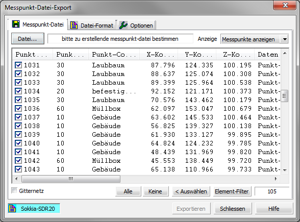
With the export function, existing measuring points in the drawing can be output as measuring point files with a wide variety of file formats. For example, the points can be used for setting out in a total station or edited with other geodetic software.
For more information on these features, see the relevant help. To do this, click the button in the dialog [Help].