Table of Contents
Google Earth bulk export
Export to Google Earth
Description
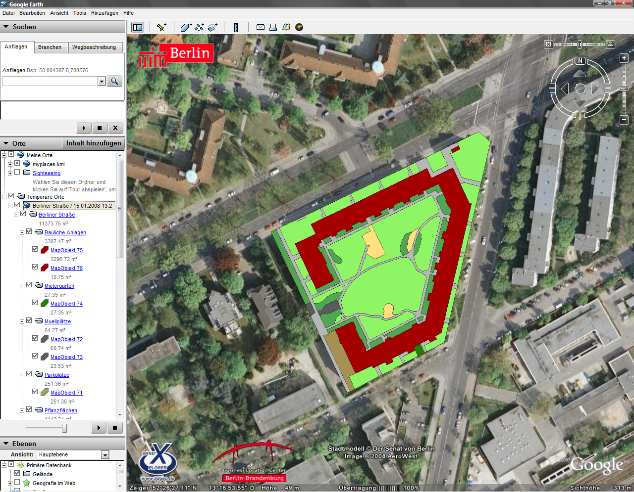
With this command you transfer the objects from the Object manager according to Google Earth. So you can display your drawing objects directly in Google Earth. (e.g. in facility management for the representation of care areas)
Application
- Start Google Earth.
- Switch to your drawing in DATAflor CAD program and select the entry in the Google Earth menu according to Google Earth to hand over.
- The chosen one Mass tree is adopted and displayed in Google Earth.
- To zoom in on the objects in Google Earth, is in the window Places double-click on the top entry of the exported mass tree structure.
Google Earth graphics are required to display the mass tree objects in Google Earth. You can find out more about this under Transfer graphic.
Functionality
After calling up the function for the export, the selected mass tree structure is transferred to Google Earth. There will be the Mass tree with all objects to which a Google Earth graphic was assigned in the window Places created. In addition, the information is automatically saved as a KML-File saved.
The files are stored in the user directory of DATAflor CAD in the folder Google Earth \ masses filed.
Settings can also be made for the export of the mass tree, e.g. with regard to the description (see Google Earth tab).
Use of deduction objects: Google Earth has no deduction areas, so these objects are displayed in the color of the base object. You can adjust the display of these objects later. To do this, select in Google Earth in the area Places select the folder to which the print items are originally assigned. Select the with the right mouse button Features. On the tab Style, color click the button [Apply same style]. Switch to the tab Height. There you enter for that Height enter the value 1. Then choose the arrow next to the entry Relative to the ground. Choose from the list Bound to the ground off (the height is reset to 0m). close the window Features with the button [OK].
Export as a KML file
Description
This function saves the Mass tree as a KML-File. This may be necessary if, for example, Google Earth is not installed.
Functionality
After calling the function for the export as KML-File a file selection dialog appears. The name for the new file is predefined, but can be freely integrated. The generated KML- The file can then be viewed in Google Earth via the menu File> Open can be read. When the file is opened, Google Earth automatically zooms in on the objects.
Google Earth graphics are required to display the mass tree objects in Google Earth. You can find out more about this under Transfer graphic.
Send
Description
A KML file is attached to a new message using Outlook.
Functionality
The Mass tree is automatically saved as KML-File saved. The generated KML file can then be viewed in Google Earth via the menu File> Open can be read. When the file is opened, Google Earth automatically zooms in on the objects.
Google Earth graphics are required to display the mass tree objects in Google Earth. You can find out more about this under Transfer graphic.
Outlook must be open to use this function.
Online server
Using a server, the data can be made available and managed on the Internet (password-protected).
The implementation of this function is planned for one of the next versions.
Transfer graphic
Description
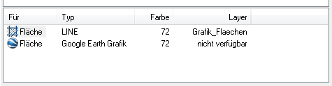
In Google Earth, the graphical properties of the objects are managed differently than in DATAflor CAD is possible. Google Earth graphics are therefore required to display the mass tree objects in Google Earth. With this function you can automatically transfer the graphics of the existing graphic variants into Goggle Earth graphics.
Since this is only a graphic for use in Google Earth, the graphic remains in DATAflor CAD invisible. Google Earth cannot display hatching patterns, so all graphics are shown there as full-area hatching (Solid).
You can also create your own Google Earth graphics. You can find out more about this under Google Earth graphic
Functionality
The existing graphics are created as Google Earth graphics for the activated branch.
No Google Earth graphic is created for a deactivated graphic variant.
If no graphic is assigned to a graphic variant, no Google Earth graphic is generated either.
If several graphics of the same object type are assigned to a graphic variant, only the first graphic of each graphic variant is transferred to a Google Earth graphic.
If several graphics of different object types are assigned to a graphic variant, the first graphic of each object type is transferred.
If several graphic variants with Google Earth graphics are activated for an object, the object is created multiple times in Google Earth, since an object is created in Google Earth for each Google Earth graphic created.
Google Earth graphics in deactivated graphic variants are not exported to Google Earth.
Import from BUSINESS
Imports an in DATAflor BUSINESS created KML-File to show updated processing states.
The implementation of this function is planned for one of the next versions.