How can I change my terrain heights in the project?
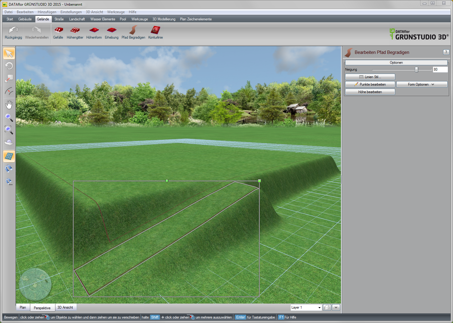
If possible, the terrain modeling should be carried out first during the course of the project. In this way, unwanted changes to objects can be avoided. The terrain tools can all be combined with one another in a variety of ways. Here's how you can elevation insert and place a straightened path at its edge, for example to model edges more individually.
You can get more information from the Quickstart or the Assistance remove. There may be further questions about the program functions. We are happy to offer you seminars for this purpose. An overview of that DATAflor Seminar offer can be found under www.dataflor.de/seminars.