Table of Contents
Import EDBS
Command: EDBS
Description
With this command you import external EDBS data from the geographic information system ATKIS (Official Topographic-Cartographic Information System) into your drawing. You can edit these drawing objects and use them as a basis for planning, for example.
Application
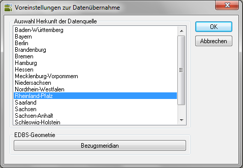
- Select the origin of the data source from the list. The EDBS-Format differs from state to state.
- If available, enter a reference meridian.
The reference meridian defines the zero point of the map grid. The best-known reference meridian was determined using the telescope in the Greenwich Observatory.
- Select the EDBS data source.
- The geometries are then inserted into the drawing as polylines.