Table of Contents
Viewpoint in Google Maps
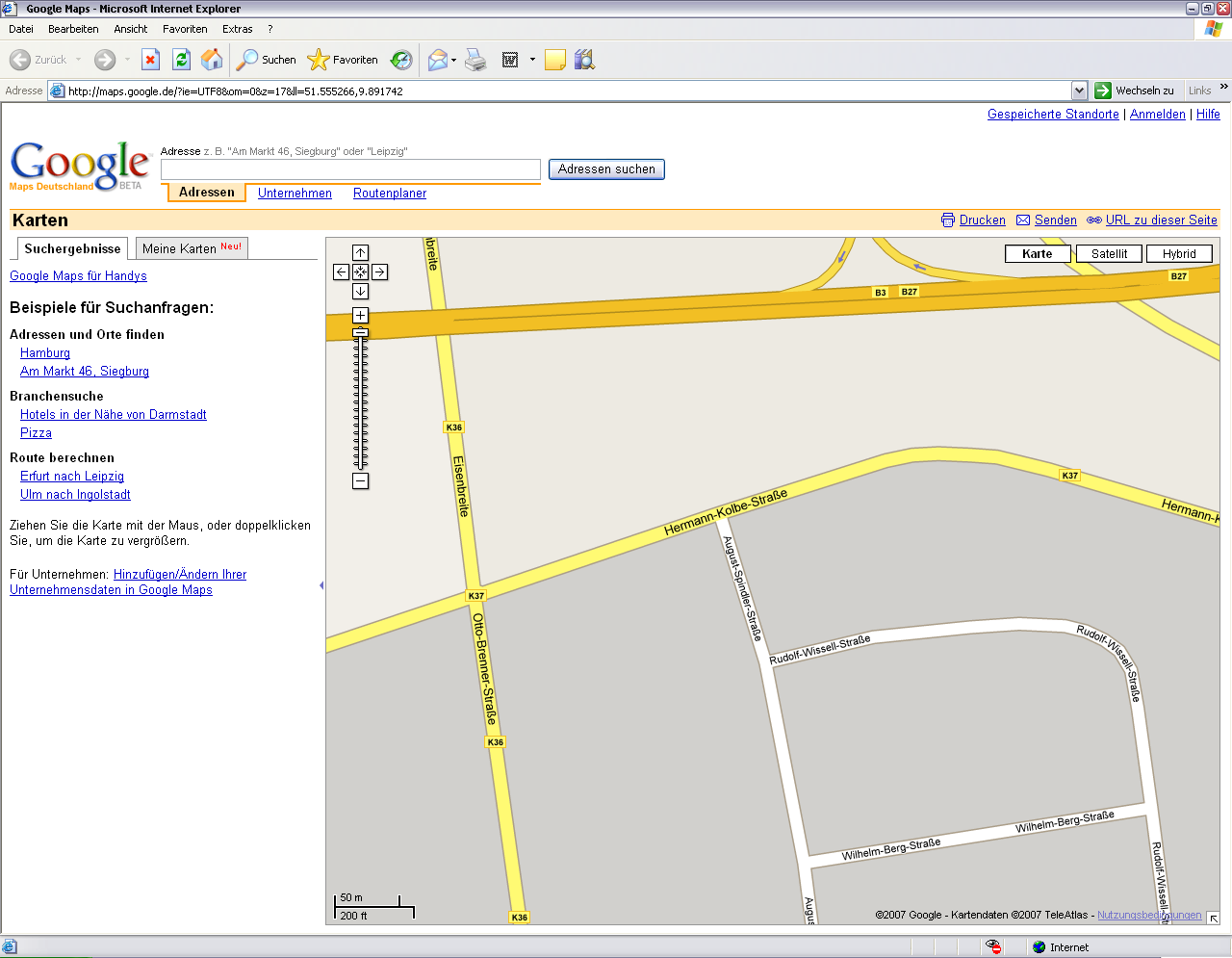
Command: GMZOOM
Description
By specifying a point in the CAD drawing, this coordinate is zoomed in on Google Maps.
Application
- Call in DATAflor CAD the command GMZOOM .
- Enter the point in the drawing that you would like to be displayed on Google Maps.
- After selecting the point, Google Maps is opened and the map area is displayed there based on the selected coordinate.
Select the point in your CAD drawing that should represent the center of the map area you are looking for.
Are you not in the world coordinate system, then the map cannot be displayed in Google Maps. In this case, check the specified coordinates in the status bar.